|
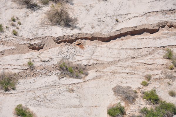
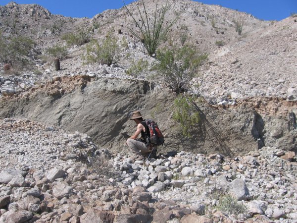
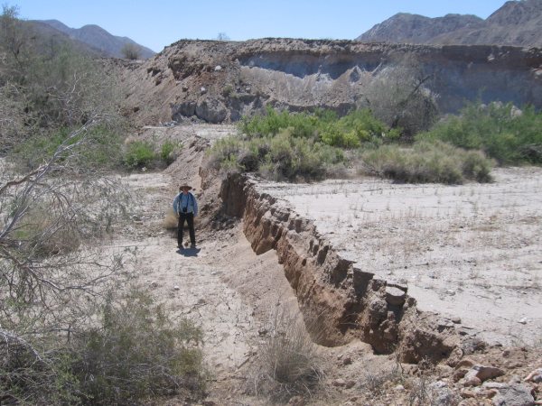
Photos of the ground displacement at the Laguna Salada Fault, in Baja California, as a result of the April 4, 2010, 15:40 PDT earthquake with epicenter near Guadalupe Victoria, south of Mexicali. Preliminary field measurements by CICESE researchers have documented (a) a vertical displacement of 0.4 m, (b) a horizontal displacement of 2 m, and (c) a longitudinal length of fracture of close to 100 km. [Photos released by Dr. Francisco Suarez Vidal on April 28, 2010]. |
|
|

|
|