|
In the Summer of 2002, I was invited by my friend
and colleague, Dr. Carlos Rodriguez, to participate in a flight over
the Rio Meta, in eastern Colombia, where his consulting firm
was performing hydrologic and hydraulic studies to enhance navigation.
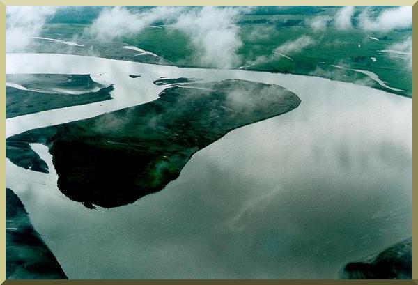
The purpose of the flight was to perform an
aerial reconnaisance of the Rio Meta,
from upstream at Villavicencio to downstream at Puerto Carreño,
where the Rio Meta discharges into the Rio Orinoco,
a distance of about 800 km.
The morning of the flight, our study team assembled at the
airport in Villavicencio, capital of the department of Meta,
and proceeded to board the plane,
a single-engine Cessna. About two hours into the flight,
we had to abort the mission
because suddenly the sky became extremely
overcast, making it virtually impossible for us to see anything, let alone the ground.
The pilot proceeded to make a U-turn and we headed back,
disappointed that bad weather had thwarted our original plan.
As we got off the plane, we were detained by airport security for questioning. They
told us that we had circled above a Colombian navy base on the river and demanded an explanation.
It took us a while to explain
that our objective was civilian reconnaissance, that we were unaware of the base's existence,
and that our pilot's U-turn, precisely in the airspace above the base, was merely an unfortunate coincidence.
| ||
|
|
