
|
Ā
|
|
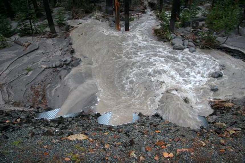 |
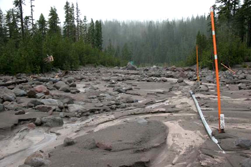
| Mineral Creek Emergency Culverts at work. Main culvert plugged. 2 of 3 new culverts plugged.This is across the road from White River Boy Scout Lodge. About 1/3 of White River is here (061107). |
 |
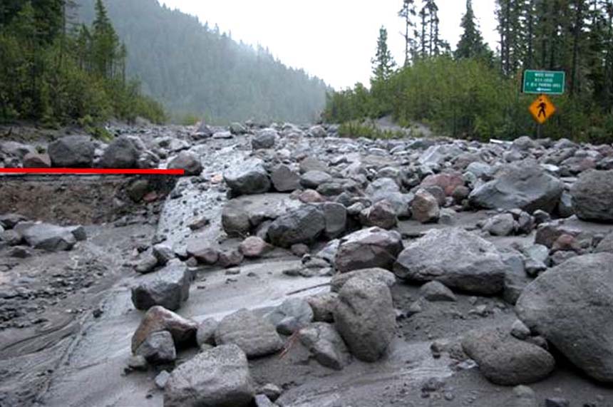
| Roadway by BSA at 0730 (061107). |
 |
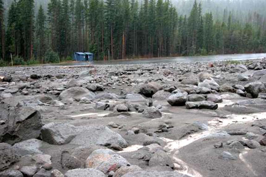
| Entrance to BSA snopark about 20% gone (061107). |
 |
| Entrance to White River West Snopark. Note the little pavement visible in background. This Snopark will not be available this winter (061107). |
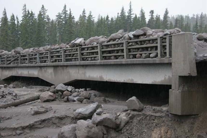 |
| Down River Side of White River Bridge. The top of the pile on the bridge is level with the upstream side of the bridge meaning about 15-20 ft of fill (061107). |
 |
| Photo taken from middle of White River bridge looking south. Guardrail and snowpoles mark the upstream side of the bridge. You should be looking down about 15 feet on the right side to where the river is supposed to be (061107). |
 |
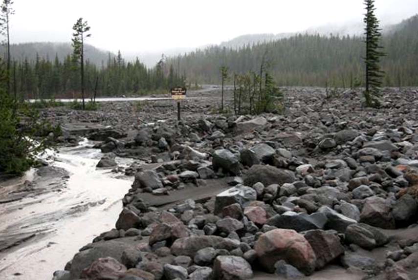
| What is left of the snopark (061107). |
 |
| Tributary culvert on the north end of White River bridge. Road 48 is about 50 yardas north, to the right. About 2/3 of White River is here (061107). |
 |
| Rather large boulder left on centerline of Hwy 35 in front of Boy Scout Lodge. Little White River can move big things when it has the mind. This is Gary about to fire up his D-8 (061107). |
 |
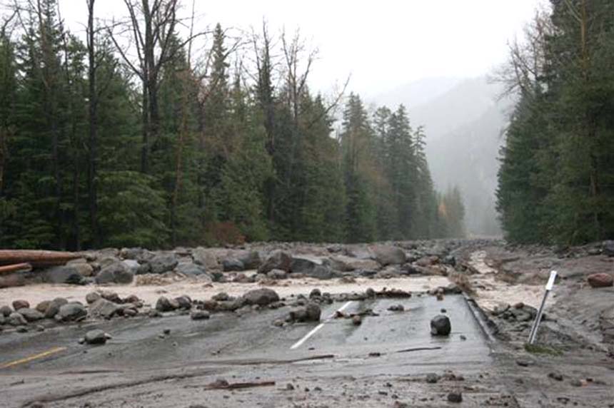
| Hwy 35 just south of Pocket Creek snopark. This is Clark Creek flowing along the Westside of the highway toward Newton Creek box culvert where it crosses the road. Newton Creek is now wher it was in the last event (061107). |
 |
| Looking north toward Robinhood. The Robinhood bridge is around the corner in the distance. This is Newton Creek crossing the road and running along the eastside of the highway (061107). |

|
| Aerospace | Civil | Electrical | Mechanical | Search | Portal |